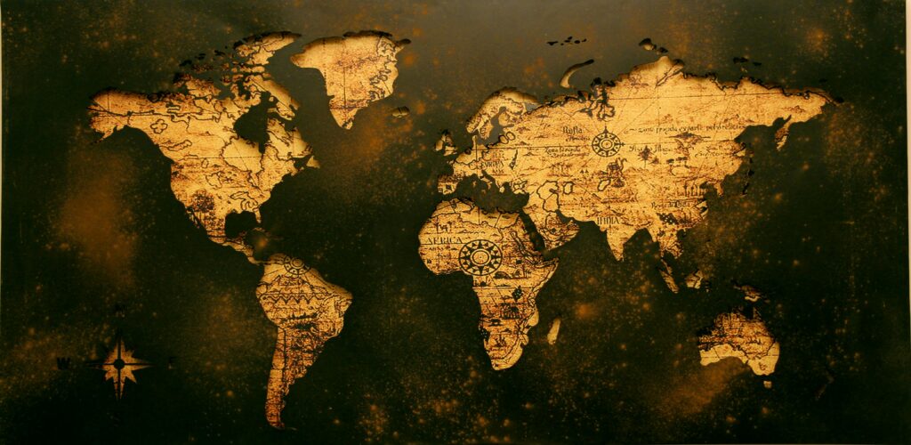
The African Union (AU) is asking the world to start using maps that show the “true size of Africa.”
Most maps today use the Mercator projection, created in the 1500s. This type of map makes countries near the North and South poles (like Europe and North America) look bigger, while shrinking Africa and other places near the equator.
In reality, Africa is the second-largest continent, covering about 30.37 million square kilometers (11.7 million square miles) — big enough to fit the U.S., China, India, and most of Europe inside it.
The AU says using correct maps will help fix wrong ideas people have about Africa’s size and importance.